Jökulsá á Brú
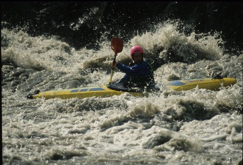
Big-volume Grade V river in multiple sections: the committing Poo Canyon upstream of Merki, an 18 km middle section of huge waves and boils, and a lower canyon with further portages.
Important: There have been numerous changes since these notes were written, most notably the Kárahnjúkar hydro project, which dammed the river far upstream of our original get-in. Treat access, levels, and hazards as historical guidance only.
Upper section — route 923 bridge to Merki
Access
Egress
Description
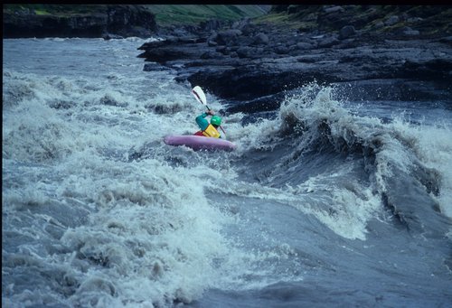
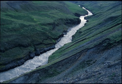
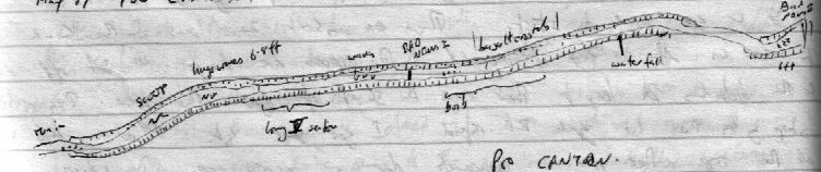
The river starts with rapids with powerful waves and flatter sections. Soon, the river banks narrow into a canyon that continues to Merki. We soon called this Poo Canyon due to the committing nature of the river and the inability to exit the river.
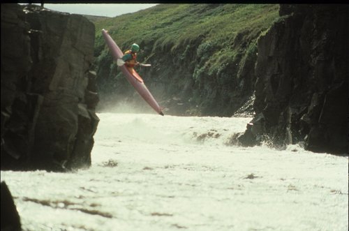
The first major rapid is a large curling wave, named the Poopa Scoopa. From here, the walls of the canyon draw in. We inspected as far as possible, but soon enough we were all swept over Bad News I, a river-wide hole. Although this looked horrendous, we were all swept through it without a problem.
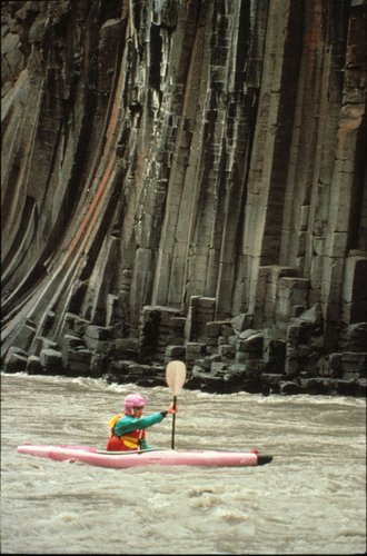
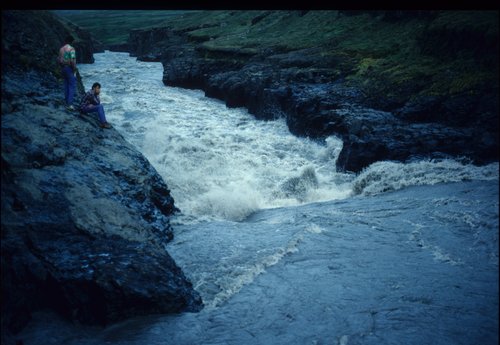
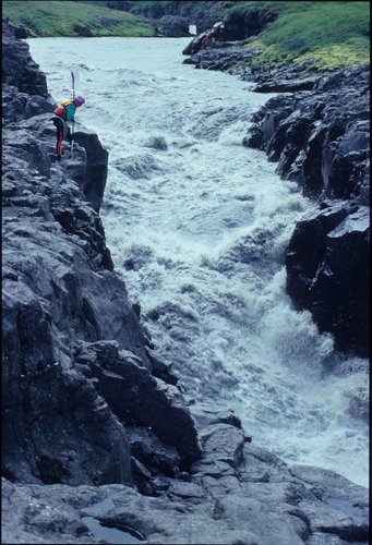
There is now a long section of canyon with easier rapids and canyon walls made of basalt columns. Bad News II is the next major rapid. It looked even worse than Bad News I, and we portaged river right.
Middle section — Merki to Route 1 / 928 junction
Access
Egress
Description
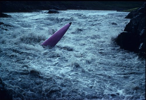
This section is 18 kms of big volume grade V with some easy flat bits between the rough sections. The first major obstacle is a scaled up version of the serpents tail on the Dee. The river is very boily and the waves are huge. This is followed by a large rapid on a left hand bend adjacent to the route 1 junction. Inspect before running. The river continues with some huge waves before passing of for a few kms. Another left hand bend and the action starts again. Go left of the island and avoid the huge hole in the main channel, more big waves and scary boils. More big rapids and then the river hits "Boil city", a small trench that's far to small for the volume of the river. There are no particular hazards except numerous ricocheting boils. Egress after another section of big waves.
Lower section — Route 1 / 928 junction to Route 1 bridge
Access
Egress
Description
The river eases off, with flatter sections and easier-to-inspect rapids. There are a couple of Grade V rapids to watch out for, and one horror, Bad News III. The final Bad News is not too far upstream of the Route 1 bridge, and can be portaged river right.
The flow in the Jökulsá á Brú was about 450 m³/s when we ran it.
Photos
Images from this guide. Browse the full expedition gallery.