
Rob on the top fall of the Hamarsa

Rob on the top fall of the Hamarsa
River: Hamarsá
Grid Reference: 64deg6″N; 14deg53″W
Grade: III
Length: 3.5km
Date run:
Weather conditions: Gray
River level: Medium
Significant portages: None.
Access arrangements
Drive up the track from the main road at Bragðavelli on the south bank. Ask farmer before driving up. 8 miles to the section we ran, where the track runs out. Need 4WD and high clearance. We got in just below a small canyon section with several large (unrunable) waterfalls.
Egress
Get out where there is a large rock pillar in the river.
Description
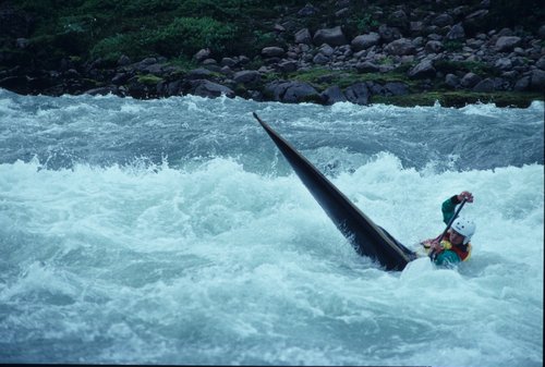
Rob below the top fall on the Hamarsa, a rare moment in a slalom C1
The track ends near a small corrugated iron hut, and this is the natural place to access the river. You can scramble further up the canyon, and find some harder falls, but this was not done by us.
The river is a simple grade II-III. Open valley with fairly continuous rapids, but no hidden hazards. Paddled in MI 370s and a fibreglass slalom C1